In the presentations, both methods of remote sensing and their applications for different Arctic environments and foci/aims were showcased by Norwegian and international scientists and managers working with remote sensing. This included remote sensing in the Arctic from space and air, over oceans, sea ice, land ice and other land surfaces.
Conveners: Vigdis Lonar Barth (Norwegian Space Agency), Rune Storvold (NORCE)
 11:20 - 11:45
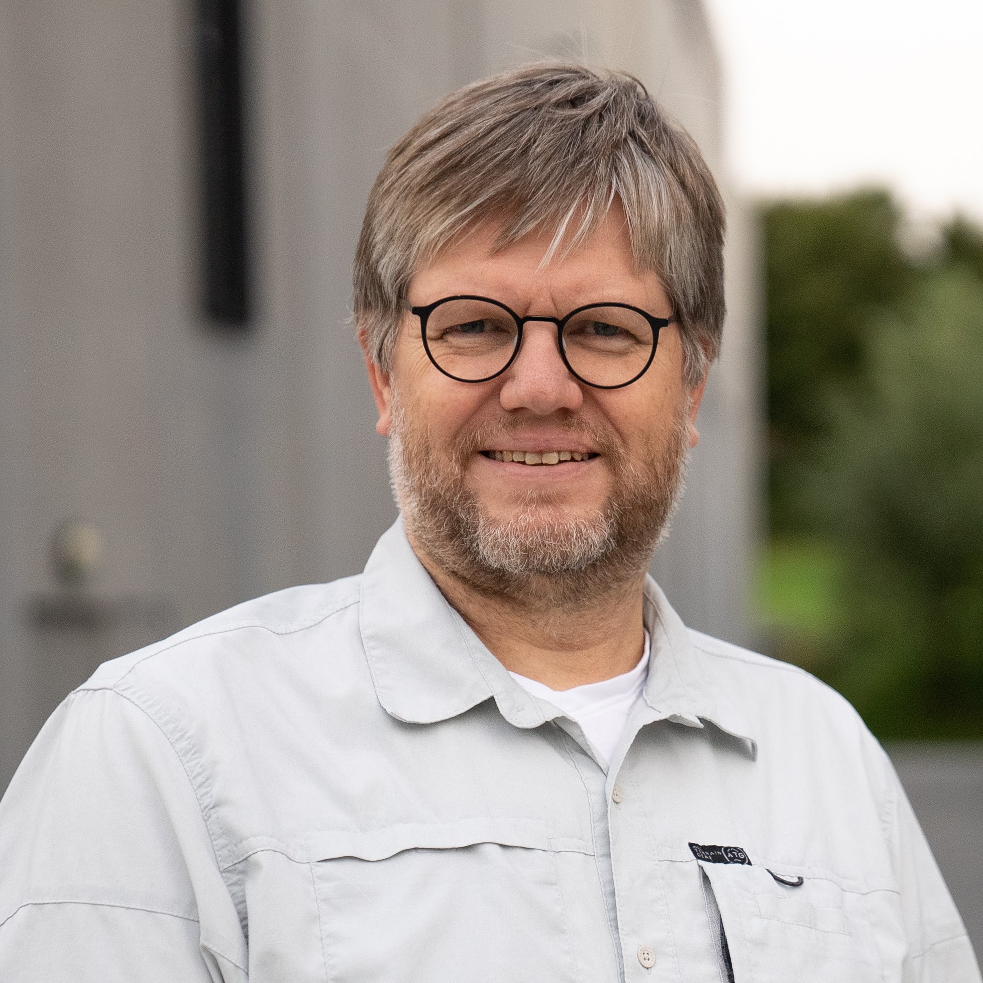
Rune Storvold (NORCE): The role of drones and aerial remote sensing in the future arctic observing system
Rune is Senior Vice President in the Observing Systems department in NORCE. He is also Adjunct Associate Professor at the Department of Engineering Cybernetics at the Norwegian University of Science and Technology associated with the AMOS centre. He started working at Norut/NORCE in 2003 using synthetic aperture radar data for measurements of cryospheric properties and doing modeling of microwave scattering and propagation in snow and ice. The Observing Systems Department consists of three research groups with 40+ scientists, pilots and engineers in satellite and aerial remote sensing, modelling, and technology development.
 11:45 - 12:10
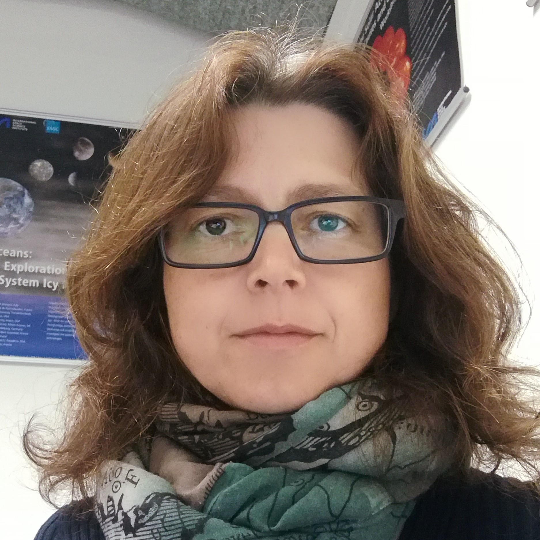
Annett Bartsch (b.geos): Recent industrial development across the Arctic as visible from space
Annett is the founder and managing director of b.geos, which is a member of the Austrian Polar Research Institute and provides services based on the Copernicus Sentinel missions and high spatial resolution observations from space.

12:10 - 12:35
Walt Meier (National Snow & Ice Data Center, US): Remote sensing observations of sea ice in a transformed Arctic climate
Walt is a senior research scientist at the National Snow & Ice Data Center, part of the Cooperative Institute for Research in Environmental Sciences at the University of Colorado in Boulder, Colorado. His research focusses on sea ice, passive microwave remote sensing, and Arctic climate change.